Tokyo's Rivers: The Sumida, Tama, Arakawa and More, With the Best Riverside Spots
Published: 2026-10-10
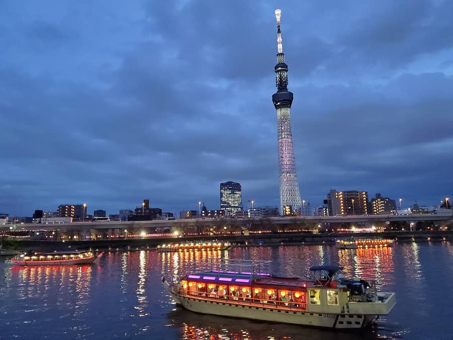
Since the days of Edo, Tokyo has been a city of water. Rivers still run through it, lined with cherry trees, fireworks and water buses. Here are Tokyo's main rivers and how to enjoy them.
The short answer
| River | From where to where | How to enjoy it |
|---|---|---|
| Sumida | Splits from the Arakawa at the Iwabuchi Floodgate in Kita Ward and flows to Tokyo Bay (about 23.5 km) | Water buses, yakatabune boats, fireworks, cherry blossoms, Skytree views |
| Tama | From Mt. Kasatori in Yamanashi, along the Tokyo–Kanagawa border, into Tokyo Bay at Haneda (about 138 km) | Upstream gorges, riverside walks, fireworks |
| Arakawa | From Mt. Kobushi in Saitama to Tokyo Bay. Its lower course in Tokyo is a man-made flood channel | Cycling on the wide banks, historic floodgates |
| Meguro | From Setagaya through Meguro and Shinagawa to Tokyo Bay | Cherry trees at Naka-Meguro |
| Kanda | From Inokashira Pond in Mitaka to the Sumida | Ochanomizu's canyon-like view, with trains |
The easiest way to enjoy a river is a water bus from Asakusa. Cruise down the Sumida past bridges and Tokyo Skytree.
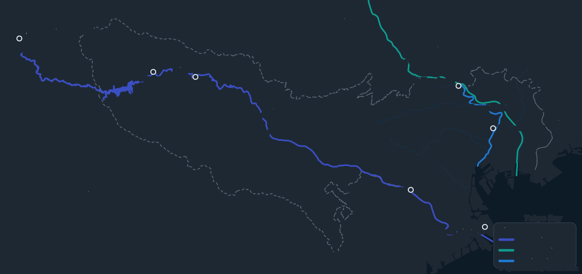
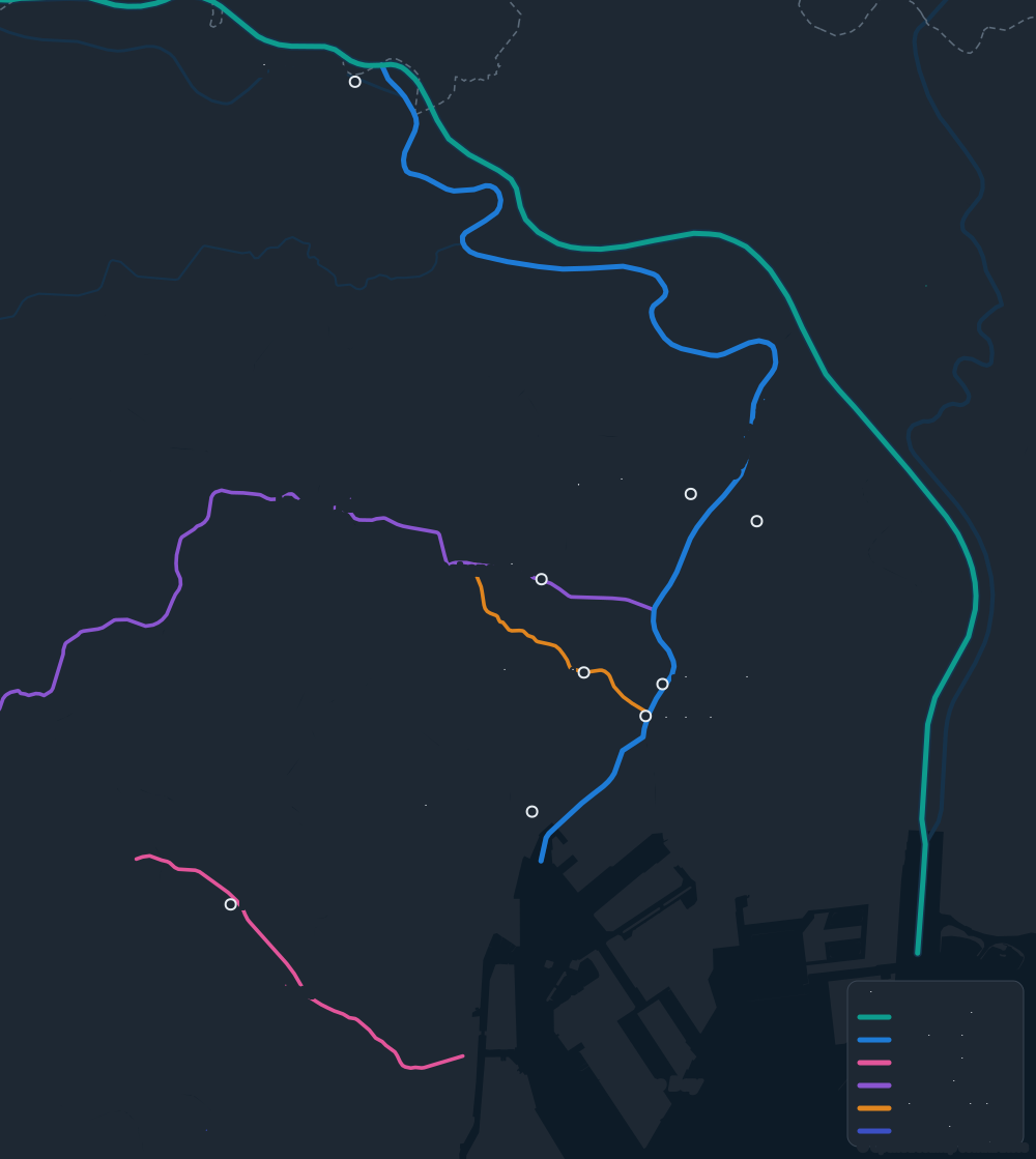
Tokyo's rivers on the map
The Sumida: Tokyo's everyday river
Once the lower Arakawa, it flows through old downtown neighborhoods like Asakusa and Ryogoku.
 YakatabuneDinner on tatami mats while cruising the river, a pastime dating back to the Edo period. At night, Skytree glows overhead. → Official site (日本語) · GO TOKYO
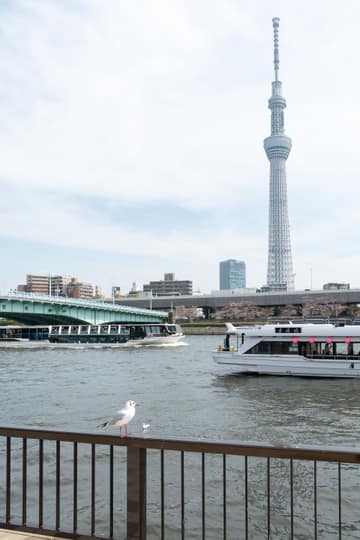 Water busesFrom Asakusa to Hamarikyu and Odaiba. Some boats, designed by manga artist Leiji Matsumoto, look like spaceships. → Tokyo Cruise · Tokyo Mizube Line · GO TOKYO
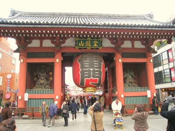 Asakusa and Sumida ParkThe riverside park is a cherry blossom hotspot, with the river, blossoms and Skytree in one view. → GO TOKYO
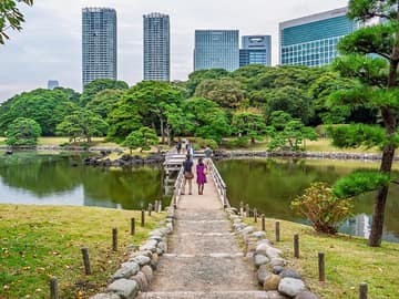 Hama-rikyu GardensA feudal lord's garden at the river's mouth, with its own water bus pier. → Official site
Book a yakatabune night cruise in Tokyo (Klook)
Dine on a traditional yakatabune boat while cruising Tokyo Bay at night. Check the pier, times and menu on the booking page.
Book a Tokyo Bay lunch cruise (Klook)
Cruise Tokyo Bay by day over lunch, with bright views of the sea and city, a different experience from a night yakatabune. Check the pier and times on the booking page.
- The Sumida is crossed by many distinctive bridges. Kiyosu Bridge and Eitai Bridge are Important Cultural Properties, lit up at night.
- Every summer the Sumida River Fireworks draw huge crowds. → Official site
- The Sumida River Terrace promenade runs along the water for riverside walks.
The Tama: from mountains to the sea
It rises in the mountains west of Tokyo, forms the border with Kanagawa and meets the sea right by Haneda Airport.
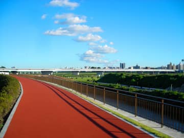 Futako-Tamagawa (midstream)Wide riverbanks next to a stylish shopping area, lovely for walks and cycling.
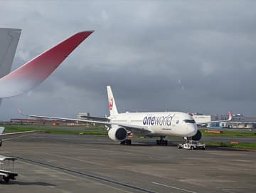 Haneda (river mouth)Haneda Airport sits right at the mouth, so you can watch planes take off and land.
The Arakawa: a river built to protect Tokyo
Its lower course in Tokyo is the Arakawa Diversion Channel, dug about a hundred years ago to protect the city from floods. The river and its banks are remarkably wide.
Other rivers
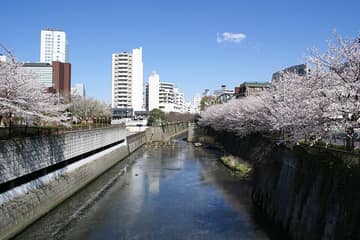 Meguro RiverIn spring, Naka-Meguro's riverside becomes a tunnel of cherry blossoms, with lanterns at night. → GO TOKYO
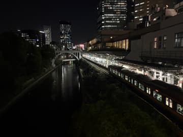 Kanda River (Ochanomizu)Subway trains on the Marunouchi Line cross above a canyon-like stretch of river, a favorite spot for train photos.
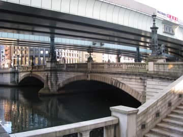 Nihonbashi RiverHome to Nihonbashi bridge, the starting point of Japan's roads. Work is under way to move the expressway above it underground.
River trivia
- In Edo, rivers and canals were the main routes for people and goods. Old canals and bridges still hint at that past.
- Many Tokyo rivers have paved riverside paths, where you'll see locals running and strolling.
Currents can be fast and depths change suddenly. Don't swim in Tokyo's rivers.
For riverside cherry blossoms, see Tokyo cherry blossom spots; for evenings, Tokyo after dark, without the clubs.
Official websites
- Tokyo Cruise (water buses)
- Tokyo water buses (Tokyo Metropolitan Park Association)
- Sumida River Fireworks
- Hama-rikyu Gardens
- Okutama Tourist Association
Timetables and event dates can change. Check the official websites before you go.
Read next
 Kimono Rental in Tokyo: A Kimono Stroll in Asakusa, How Rental Works and Kimono EtiquetteWant to wander Asakusa in a traditional Japanese kimono? With a kimono rental, you just turn up and a professional dresses you. Here's how renting works, kimono vs. yukata, the best walking route, and the etiquette worth knowing.2026-10-09
 Shibuya, Shinjuku, Asakusa… Tokyo's Top Areas Compared: Where to Go FirstTokyo isn't one city center but a cluster of very different neighborhoods. Here's what each popular area feels like, and which ones pair well in a day.2026-10-06
 What to Do With Big Luggage in Tokyo: Coin Lockers, Luggage Storage and Hands-Free TravelSightseeing while dragging a big suitcase is no fun. Here's how to travel light in Tokyo, from station coin lockers and storage services to sending bags ahead to the airport or where you're staying.2026-10-06